New technologies for remote biodiversity monitoring
Institute for Biodiversity and Ecosystem Dynamics (IBED)Unbiased, integrated and regularly updated data on biodiversity and ecosystem services are necessary to inform EU policy. Yet, efforts to monitor animals and plants across space and time remain fragmented. This lack of data creates gaps in biodiversity monitoring, which can negatively affect policy-making.
Mapping biodiversity with high resolution
Recognizing this need, the newly EU-funded MAMBO project aims to develop, test and implement new tools for monitoring species and habitats for which knowledge gaps still exist. "The MAMBO project will use artificial intelligence algorithms to detect species in images and sound and derive information from satellite remote sensing, airplanes and drones. In this way we can map where and when species occur and what the conditions of their habitats are," says Associate Professor W. Daniel Kissling of the UvA's Institute for Biodiversity and Ecosystem Dynamics (IBED).
In the MAMBO project — in full: Modern Approaches to the Monitoring of BiOdiversity — IBED will mainly focus on using laser scanning data from airplanes to map the structure of vegetation and habitats at very high spatial resolution. "Hundreds of billions of points from country-wide airborne laser scanning surveys can be converted into vegetation characteristics, using advanced high-performance computing workflows. This allows us to remotely quantify the three-dimensional structure of vegetation, including the height of trees, shrubs and grass, or the vertical distribution of biomass in different vegetation layers", explains Kissling.
Better and more cost-effective monitoring
Involving a large range of stakeholders, such as land managers of protected areas, the project will first identify the needs on the ground. The consortium will then deploy digital sensors in selected demonstration sites across Europe and map the extent and condition of habitats. This will result in an improved and more cost-effective monitoring scheme for sensitive species and habitats. A cost-benefit analysis and testing of the tools will demonstrate the potential to scale-up and make the MAMBO approach widely available in the EU and beyond.
Multidisciplinary approach
MAMBO's approach is multidisciplinary, drawing on technical expertise in informatics and remote sensing as well as social science knowledge on science-policy interactions, environmental economics and citizen science. This will be combined with knowledge on species, ecology and conservation biology.
The project, which started in mid-September, involves ten partner institutions from seven EU countries and the UK. "It is crucial to collaborate with stakeholders on the ground," says Kissling. "They are the ones who have insights into how areas and species are changing. But they often lack the technological knowledge and computational skills to use novel technologies for detecting and measuring the changes."
The other Dutch partner organization in the consortium is Naturalis Biodiversity Center. “You do not dance the MAMBO alone,” says work package leader Prof. Dr. Koos Biesmeijer. “Our tools will link to the diverse landscape of EU and national projects and infrastructures, so anybody interested in biodiversity monitoring can benefit from them.”
Text: IBED
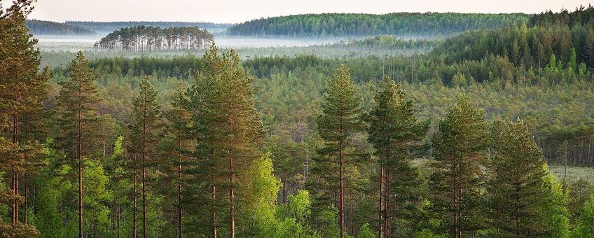
Photo: Külli Kolina (lead photo: forest in nature reserve Meenikunno, Estonia), Wikimedia Commons
